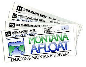
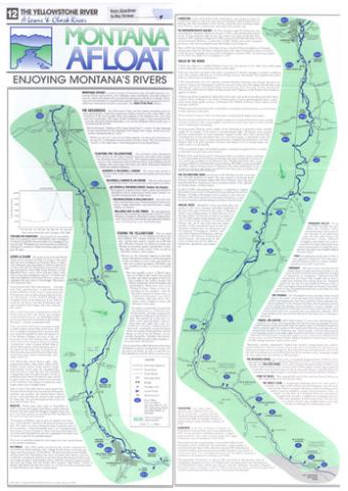
These maps contain official public access points, river mileage, major landmarks, places of interest and general information about each section of the river.
Each map is 2 sided and in 3 colors. 4" x 9" folded, 9" x 19" unfolded.
MONTANA AFLOAT RIVER MAPS
PRICE
ADD TO CART
PHONE ORDERS WELCOME